Search Posts
Recent Posts
- Kent Hospital Plans Major Renovation to Modernize Campus, Expand Care March 30, 2026
- Business Monday: Networking for Success. Before You Go – Bob Salvas March 30, 2026
- House Lawmakers Must Not View Aging as a Partisan Issue – Herb Weiss March 30, 2026
- FREE Virtual Workshop for Homebuyers: Beacon Bank for Financial Literacy Month March 30, 2026
- Rhode Island Weather for March 30, 2026 March 30, 2026
Categories
Subscribe!
Thanks for subscribing! Please check your email for further instructions.

Weekend Weather Wrap – Sat/Sun, Dec. 14 & 15, 2019:
By Jack Donnelly, meteorologist
Saturday, Dec. 14, 2919:
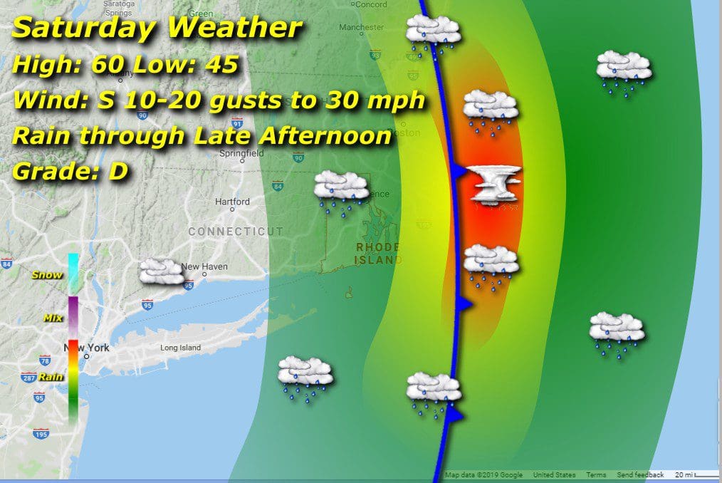
A mature low pressure system rolling through with rain, heavy at times with the outside possibility of an embedded thunderstorm through the evening accompanied by blustery winds out of the south. Flood watches are in effect as we’re expecting between 1 to 3 inches of rain with locally higher amounts. Some of the more stubborn ice chunks will remain stuck in storm drains, so street flooding is likely through the area. Warmth will ride in on the southerly breezes, with afternoon high temperatures climbing towards 60 degrees from a morning low of 45.
Sunday, Dec. 15, 2019:

Rains end and clearing will gradually take place through the latter half of the weekend as low pressure exits stage right and high pressure begins to fill in behind the cold front, still brisk winds shifting to westerly. Temperatures will have a lower range but still above normal, evening lows in the upper 20’s and afternoon highs in the upper 40’s.
A decent salvage to a wet and wild weekend!
