
Subscribe!
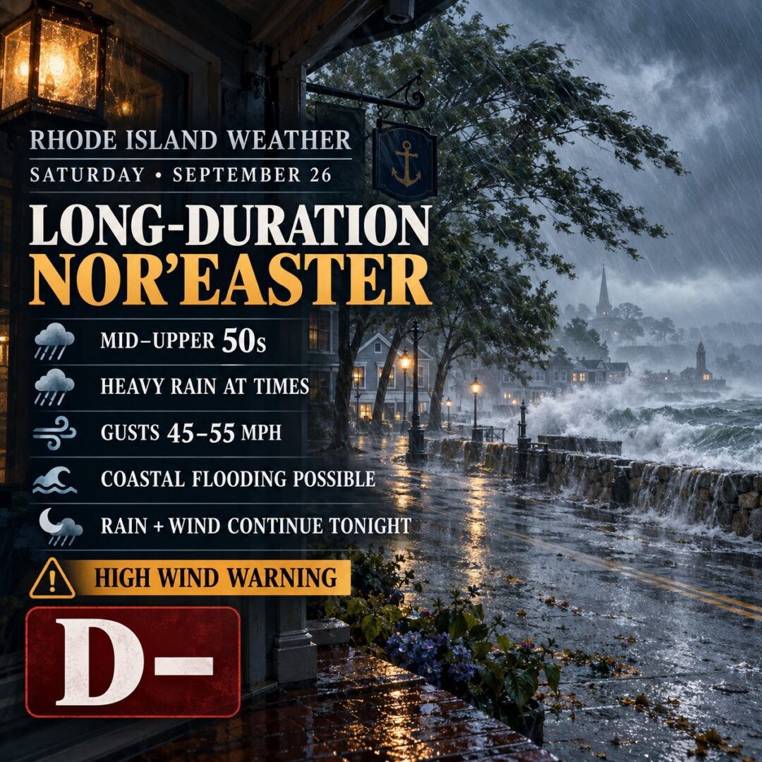
Rhode Island Weather for September 26, 2026
September 26, 2026/
Saturday is the heart of a slow-moving September nor’easter over southern New England. Rhode Island stays locked in rain, northeast wind, and raw mid-50s temperatures all day, with little letup into Sunday.
.
 .
.Morning – Overcast and already wet. Temperatures hold in the mid-50s. Rain is widespread and sometimes heavy. Northeast winds run 20–25 mph with gusts 40–45 mph inland and higher on the south coast. Patchy fog is possible, especially near the water. Visibility can drop in heavier bands.
Afternoon – Still raining, still windy, still stuck near 57–60°F. This is when rainfall rates can pick up. Northeast winds of 20–30 mph with gusts 45–55 mph (locally toward 60 mph on the south coast, Newport County, Washington County, and Block Island). High Wind Warning remains in effect. Coastal Flood Advisory covers the south shore: splashover, minor flooding of low-lying roads and shorefront at high tide, and beach erosion from large swell. Urban and poor-drainage flooding is possible where bands stall.
Evening – Rain continues and may be heavy at times. Temperatures barely budge in the mid-50s. Winds stay strong from the northeast with gusts still 40–50 mph. Fog can return. Overnight totals keep climbing; storm-total rain through Monday is generally 2–4 inches statewide, with locally higher amounts possible.
Storm context: This is a long-duration nor’easter, not a hurricane. The main threats Saturday are wind damage (trees still fully leafed), scattered power outages, coastal flooding on multiple high tides, and nuisance-to-moderate freshwater flooding. RI Energy has already flagged concern over 50+ mph gusts. Marine conditions are dangerous: Storm Warning on Rhode Island Sound with seas 8–11 feet and gusts to 55–60 knots. Ferries to Block Island have been disrupted.
Overall grade: D –
Stay off the water, secure loose objects, avoid flooded roads, and expect a messy, noisy, all-day storm rather than a brief shower. Rain and wind linger into Sunday. Good news: Flooding may not be as big as a concern as originally thought. Wind and outages the main concern.
.

Posted in Weather