
Subscribe!
Weekend Weather Wrap: Sat/Sun, Nov. 16/17, 2019
By Jack Donnelly
A decent start to the weekend with a stormy finish…
Saturday 11/16/19:
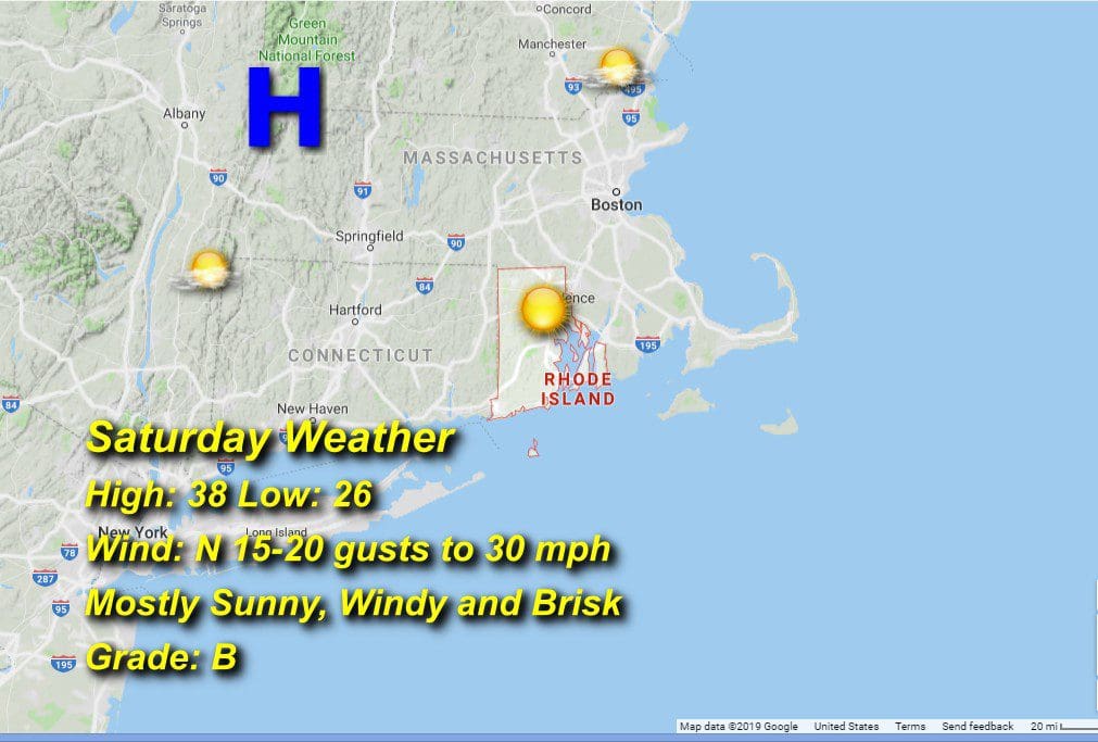
Lots of Sun for the day, maybe a few high thin cirrus, but no threat for precip. High pressure building in strong, so cool northerly winds will be the main story today, gusting towards 30 mph at times through the afternoon. The cool airmass will allow high temps to reach only the upper 30’s from an early morning low in the upper 20’s.
Sunday 11/17/19:
The interaction of high pressure anchored over central New England with a tightly wound coastal low pressure system rolling this way off the Hatteras shore will generate substantial northeasterly winds upwards of 30 mph through the day and rain beginning after 7pm. There will be pockets of moderate rain embedded in the precip shield, particularly after midnight leading to some local street flooding given leaf-clogged drains. It’ll be a bit warmer but with higher dewpoints giving the air a raw feel as the rains approach from the south. Morning low in the low 20’s and afternoon highs in the low to mid 40’s.
