Search Posts
Recent Posts
- ART! Pots and Vessels – Throw it at The Steel Yard April 28, 2026
- Arts Day at the RI State House – TODAY, April 28 April 28, 2026
- Rhode Island Weather for April 28, 2026 April 28, 2026
- BankNewport, Harvard Pilgrim, Tufts join with Salve Regina University for health and wellness outreach April 28, 2026
- Cracking the Atom of Civic Engagement – Vincent Marzullo April 28, 2026
Categories
Subscribe!
Thanks for subscribing! Please check your email for further instructions.

RI Weekend Weather Wrap – Aug. 14/15, 2021 – John Donnelly
by John Donnelly, meteorologist
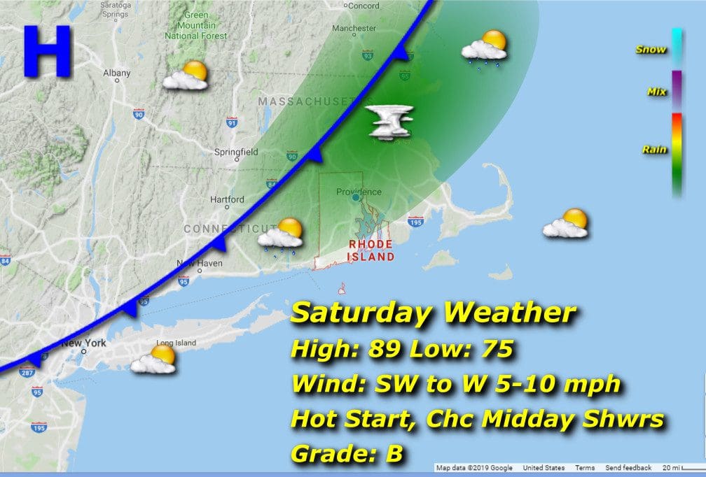
Saturday 8/14/21:
As we slog through this latest heat wave, take heart, ironically, in the midday cloud cover that will roll through with perhaps a shower or two over the area, because this action signifies a break in the wave. It’s over, for now.
Some overnight cloud cover and spotty light showers insure another warm and moist morning, lows bottoming out in the mid 70’s. Temps will scratch and claw their way towards, but not quite reach 90 before front-induced clouds and showers caps the climbing mercury. Hires models indicating the best chance for rain between 2 and 3pm, give or take an hour. You’ll notice a drop in the RH as winds begin to shift to northwesterly late behind the frontal passage.
Sunday 8/15/21:

We’ve been waiting for this kind of day for quite some time now… fair-weather high and climbing wispy cirrus, warm but not blast furnace air ushered in nicely by a light and dry northerly breeze. Afternoon highs in the low 80’s followed by evening lows in the what-will-feel-chilly mid 60’s.
Dew-point being dragged mercilessly down through the 50’s… one of my favorite things.
