Search Posts
Recent Posts
- Kent Hospital Plans Major Renovation to Modernize Campus, Expand Care March 30, 2026
- Business Monday: Networking for Success. Before You Go – Bob Salvas March 30, 2026
- House Lawmakers Must Not View Aging as a Partisan Issue – Herb Weiss March 30, 2026
- FREE Virtual Workshop for Homebuyers: Beacon Bank for Financial Literacy Month March 30, 2026
- Rhode Island Weather for March 30, 2026 March 30, 2026
Categories
Subscribe!
Thanks for subscribing! Please check your email for further instructions.

Updated: Your RI Weekend Weather Wrap- Aug. 21/22, 2021 – John Donnelly
by John Donnelly, meteorologist
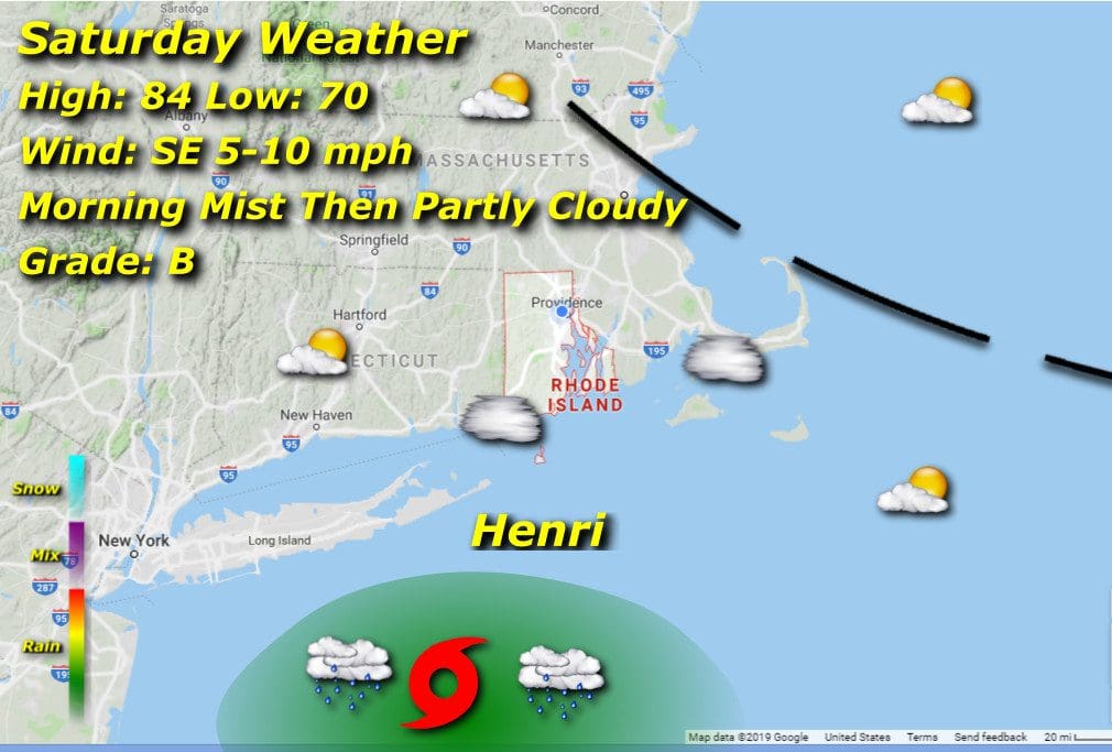
Saturday 8/21/21:
A near repeat of Friday with warm afternoon high’s in the mid 80’s after morning lows in the low 70’s. We’ll have to contend with some mist and fog along the coastal areas, but this should evaporate by mid morning. Light southeasterly breezes hint at what’s to come.
Sunday 8/22/21:

Tropical Storm Henri takes dead aim at southern New England, and will deliver a heavy blow as the center passes over Long Island by 8am and moves through central Connecticut while weakening. Rain bands will produce moderate to heavy rains at times, and southeasterly winds will be steady and strong, gusting towards 50 mph and above, higher along the immediate coast. Street flooding and power line damage just some of the hazards to expect through Sunday. We’ll have a tight temperature range, mid 70’s for lows and highs. Henri will run a button-hook pattern late Sunday and head back east into Monday, taking another, albeit weaker stab at us, so bouts of light rain late into the night.


