Search Posts
Recent Posts
- Kent Hospital Plans Major Renovation to Modernize Campus, Expand Care March 30, 2026
- Business Monday: Networking for Success. Before You Go – Bob Salvas March 30, 2026
- House Lawmakers Must Not View Aging as a Partisan Issue – Herb Weiss March 30, 2026
- FREE Virtual Workshop for Homebuyers: Beacon Bank for Financial Literacy Month March 30, 2026
- Rhode Island Weather for March 30, 2026 March 30, 2026
Categories
Subscribe!
Thanks for subscribing! Please check your email for further instructions.

RI Weekend Weather Wrap – Sat/Sun – Nov. 30/Dec. 1, 2019
Depending on your outlook, we’re in store for a mixed back of juicy goodness, or a steaming pile of…..well…..
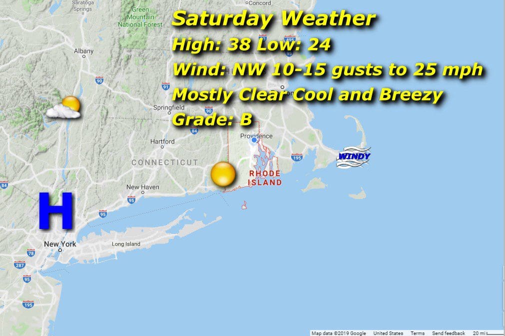
Saturday 11/30/19:
Mostly clear and cool with a brisk northwesterly wind through most of the day gusting to 25 mph. Low temps in the morning a bit cooler than normal, settling in the low to mid 20’s. Likewise for an afternoon high in the upper 30’s. This cool air influx will set the stage for our first Winter storm of the year rolling in for Sunday/Monday.

Sunday 12/1/19:
A cold morning low in the upper teens with some high clouds around will yield to warmer moist air dragged in by generally light but occasionally gusty easterly winds off the Atlantic, fuel for snow beginning in the early afternoon that will eventually mix with and change to rain from 6 pm on. Rain will continue through the night and change back to snow for Monday morning as the low pressure center moves east and cold northwesterly winds take over.
We are looking at 2-4 inches of snow on the wet side before the changeover, nothing to sneeze at, but not terribly bad. There’ll be plenty of this stuff over the next 3+ months to look forward too.
Joy.
