Search Posts
Recent Posts
- GriefSPEAK: Mercy’s Tail. No Pup Left Behind – Mari Nardolillo Dias April 10, 2026
- Outdoors in RI: Trout Season Opens, URI Salt Marsh Research, Master Gardener, Charlestown Breachway April 10, 2026
- Transfer Portal Reshaping College Sports, and Not for the Better – John Cardullo April 10, 2026
- Rhode Island Weather for April 10, 2026 April 10, 2026
- Coalition Rally at State House Pushes Long-Term Commitment to Brown Health’s Newport Birthing Center April 10, 2026
Categories
Subscribe!
Thanks for subscribing! Please check your email for further instructions.

RI Weekend Weather Wrap – Sat/Sun, July 4/5, 2020
by Jack Donnelly, meteorologist
The slightly cooler trend continues for the holiday weekend.
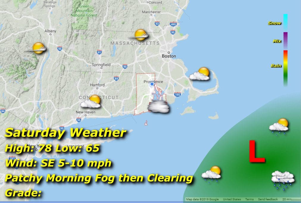
Saturday 7/4/20:
We’ll have some patchy morning fog to deal with mainly along the coastline and a few miles inland that will burn off by mid morning. We’ll then have some filtered sun to start that will eventually open up in the afternoon. Morning lows in the mid 60’s will rise to the upper 70’s with a light southeasterly breeze.
Sunday 7/5/20:

Similarly to the 4th, patchy morning fog burns off in the morning with lows in the mid 60’s. Winds shift to southwesterly in the afternoon as a cold front develops well to our north, so increasing cloud cover is likely later in the day, but any shower activity should remain to our north. Afternoon highs climb again only to the upper 70’s
