Search Posts
Recent Posts
- Kent Hospital Plans Major Renovation to Modernize Campus, Expand Care March 30, 2026
- Business Monday: Networking for Success. Before You Go – Bob Salvas March 30, 2026
- House Lawmakers Must Not View Aging as a Partisan Issue – Herb Weiss March 30, 2026
- FREE Virtual Workshop for Homebuyers: Beacon Bank for Financial Literacy Month March 30, 2026
- Rhode Island Weather for March 30, 2026 March 30, 2026
Categories
Subscribe!
Thanks for subscribing! Please check your email for further instructions.

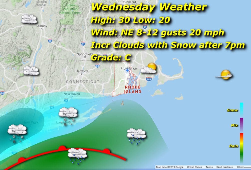
RI Weather Today – Wednesday, Dec. 16, 2020
by Jack Donnelly, meteorologist
We start the day in a frigid way, morning lows around 20 with dew points in the single digits…but it’s a dry cold. Afternoon highs will only barely crack 30 as cloud cover will be increasing in density and eventually onloading on us from early evening on into the night as a nor’easter lights it up. Models are converging on an intense period of moderate to heavy snow from midnight until 3am for the bulk of the accumulation, which by Thursday afternoon should top off between 8-12 inches generally, of course more in the northwestern snow belt of Burrillville and Foster-Glocester…Salty Brine, anyone? I think school’s already been called for most areas for Thursday,
