
Subscribe!
Rhode Island Weather for August 7, 2026
August 7, 2026/
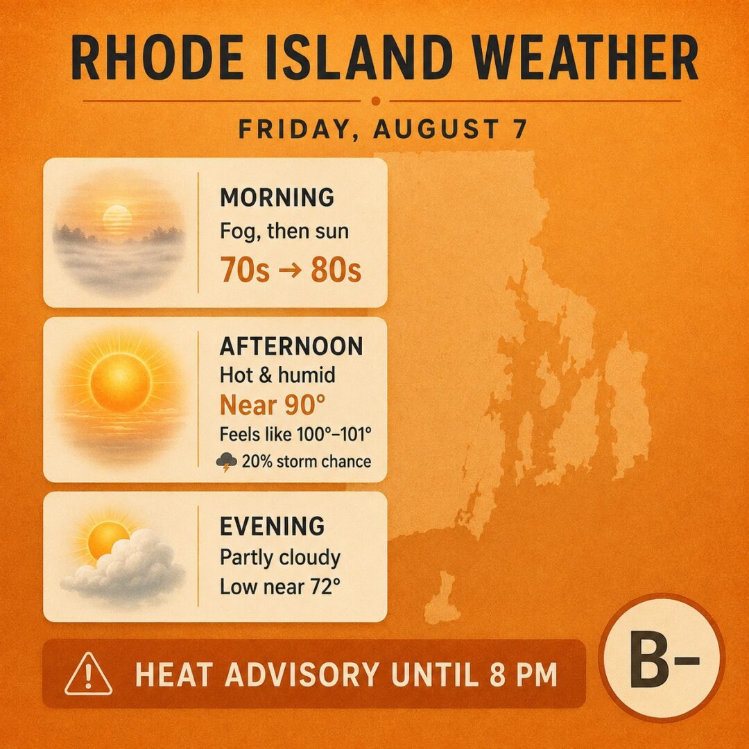
For Friday, August 7, 2026, in Rhode Island, expect another hot and very humid day under the ongoing Heat Advisory through 8 PM, with mostly sunny skies after possible early patchy fog, a high near 90°F, light winds, and only a slight chance of showers or thunderstorms after about 3 PM.

Morning will likely begin with patchy fog before 7 AM, then becoming mostly sunny to partly cloudy as temperatures rise from the low-to-mid 70s into the low-to-mid 80s. It will feel muggy with high humidity, light winds and dewpoints remaining elevated in the low-to-mid 70s.
Afternoon brings mostly sunny and hot conditions, with highs near 90°F (upper 80s to lower 90s inland) and heat index values as high as 100–101°F. Southwest winds increase slightly to 5–7 mph. Relative humidity will be lower during the peak heat (likely 50–70% range), but the overall feel remains oppressive. A slight chance of isolated showers or thunderstorms develops after 3 PM, mainly inland.
Evening features partly cloudy skies as temperatures ease into the low-to-mid 80s early, then down toward a low around 72°F overnight. Light southwest winds continue, humidity rises again, and any remaining slight chance of showers or storms diminishes after early evening (or overnight).
Humidity/heat index details: Expect persistently high humidity with dewpoints in the low-to-mid 70s, producing a tropical/muggy feel similar to today. Relative humidity will be highest in the morning and evening (often 80%+) and lower in the afternoon. The heat index (the combined temperature + humidity “feels-like” value) is forecast to peak around 100–101°F during the warmest hours, which is why the Heat Advisory remains in effect through Friday evening for most of the state.
Overall letter grade: B-
Mostly sunny and seasonably hot with good outdoor potential for much of the day, but the elevated heat index near or above 100°F and lingering humidity make it uncomfortably muggy and elevate heat-related risks, especially for outdoor activity during peak hours. Stay cool, hydrated, and limit prolonged exposure in the heat if possible.
Posted in Weather